HyperAI
Command Palette
Search for a command to run...
Satellite Embedding 地球观测数据集
Satellite Embedding 是由谷歌于 2025 年发布的一个地球观测数据集,相关论文成果为「AlphaEarth Foundations: An embedding field model for accurate and efficient global mapping from sparse label data AlphaEarth Foundations」,旨在提供高度通用的地理空间表征,融合来自多个来源的空间、时间和测量上下文,准确高效地生成从本地到全球尺度的地图和监测系统。 该数据集包含了来自 Sentinel-2 和 Landsat 的公共数据图片,图片覆盖约 163,840m x 163,840m 的区域。
数据包含:
- 卫星的光学和热成像数据
- 穿透云层的雷达数据
- 地表属性的三维测量数据
- 全球高程模型
- 气候信息
- 重力场和描述性文本数据
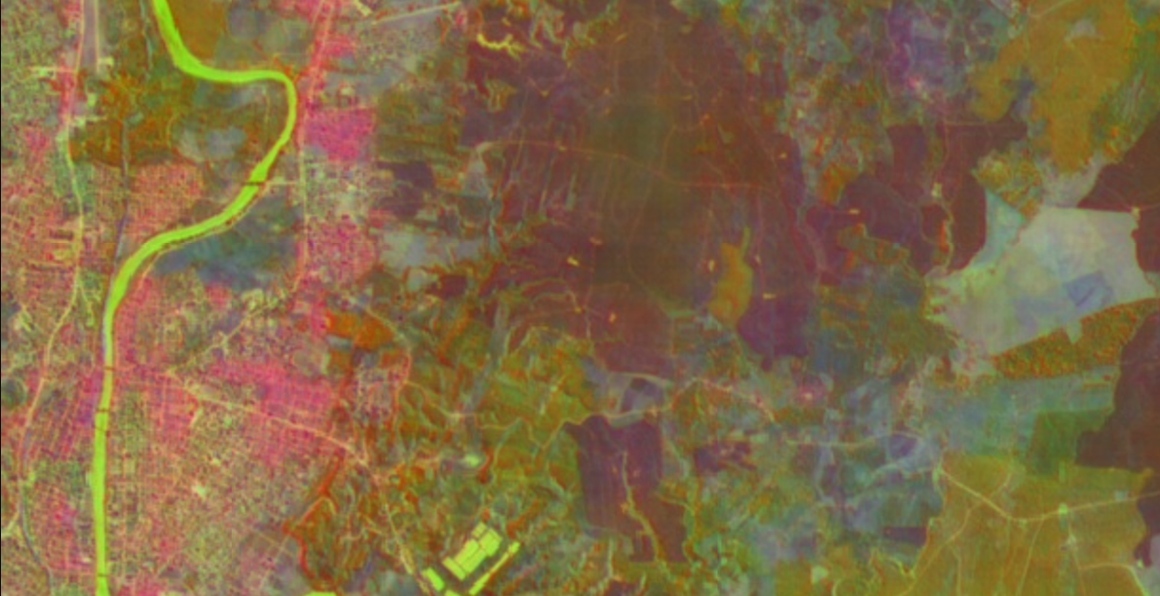
数据集示例
此数据集由社区用户贡献,仅用于教育和信息目的。如有任何内容涉及版权侵权,请通过 [email protected] 联系我们,我们将及时审核并删除。