Tessera AI Earth View
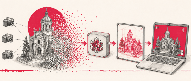
Researchers at the University of Cambridge, in collaboration with Aalto University and European partners, have introduced Tessera, an open-source foundation model designed to transform Earth observation data processing. The model peer-reviewed paper was presented at the CVPR 2026 conference in Denver, Colorado, marking its formal debut to the scientific community following its initial launch in 2025. Tessera processes annual Copernicus Sentinel-1 and Sentinel-2 satellite imagery, fusing optical and synthetic aperture radar data into compact temporal embeddings. Rather than distributing high-volume pixelated imagery, the model compresses a year of observations per 10-meter pixel into searchable time-series representations. These embeddings automatically fill gaps caused by cloud cover and capture long-term surface changes. Pretrained on extensive historical data spanning 2017 to 2025, Tessera requires minimal labeled datasets and runs efficiently on standard laptops or mobile devices, removing computational barriers for researchers. The architecture enables rapid deployment across diverse environmental applications. Users can analyze crop health, quantify wildfire damage, and monitor urban expansion without specialized artificial intelligence expertise. A practical implementation is currently underway in Cumbria, England, where researchers utilize Tessera embeddings to evaluate national nature protection initiatives and assess habitat shifts. By providing open, cost-free access, the project aims to extend Earth observation capabilities to ecological, botanical, and conservation disciplines traditionally underserved by computational resources. Tessera operates under FAIR principles, offering a transparent alternative to proprietary systems like AlphaEarth Foundations. Its open-source framework allows unrestricted modification and community-driven development. Nuno Miranda, Mission Manager for Sentinel-1 at the European Space Agency, emphasized the model role in advancing AI applications for remote sensing, noting its capacity to accelerate systematic Earth analysis. Srinivasan Keshav, a University of Cambridge professor and project co-lead, highlighted how the platform democratizes access to Copernicus data, facilitating scalable environmental research without registration requirements. The release positions Europe at the forefront of foundational Earth observation AI. Alongside Tessera, initiatives emerging from the European Space Agency Phi-lab, such as Thor and TerraMind, are expanding the ecosystem. While Tessera focuses on annual compressed embeddings, Thor and TerraMind prioritize high-resolution spatial context and multi-modal cross-referencing across radar, optical, and topographical datasets. Together, these platforms signal a structural shift in geospatial intelligence, transitioning the field from raw imagery distribution to semantic, computation-efficient data representation.