Command Palette
Search for a command to run...
DDOS UAV Depth and Obstacle Segmentation Dataset
Date
Size
Paper URL
License
Non-Commercial
DDOS is a synthetic aerial image dataset released by Imperial College London in 2023. The related paper results are "DDOS: The Drone Depth and Obstacle Segmentation Dataset", which aims to advance algorithm development in drone autonomy technology. This dataset is organized by flight mission: the training set contains 300 flights and 30,000 images; the validation set contains 20 flights and 2,000 images; and the test set contains 20 flights and 2,000 images. The data covers a variety of environments, including urban, residential, park, and natural settings, and realistically reproduces a variety of scenes and weather conditions, including sunny days, dusk, night scenes, rain, fog, snow, and the environmental variations caused by wet roads and snow. Each flight is stored in a corresponding directory with a unique flight ID, supporting the training and evaluation of drone perception algorithms.
The data includes:
- RGB image
- Depth map (uint16 PNG, pixel values 0–65535, linear mapping 0–100 meters)
- Pixel-level semantic segmentation mask (Segmentation)
- Optical flow data (Flow)
- Surface Normal
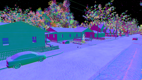
Dataset Example
Build AI with AI
From idea to launch — accelerate your AI development with free AI co-coding, out-of-the-box environment and best price of GPUs.