Command Palette
Search for a command to run...
Satellite Embedding Earth Observation Dataset
Date
Organization
Publish URL
Paper URL
License
CC BY 4.0
Satellite Embedding is an Earth observation dataset released by Google in 2025. The related paper results are "AlphaEarth Foundations: An embedding field model for accurate and efficient global mapping from sparse label data AlphaEarth Foundations", aims to provide a highly versatile geospatial representation that integrates spatial, temporal, and measurement context from multiple sources to accurately and efficiently generate maps and monitoring systems from local to global scales. This dataset contains public data images from Sentinel-2 and Landsat, covering an area of approximately 163,840mx 163,840m.
The data includes:
- Satellite optical and thermal imaging data
- Cloud-penetrating radar data
- 3D measurement data of surface properties
- Global Elevation Model
- Climate information
- Gravity field and descriptive text data
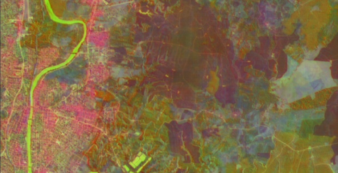
Dataset Example
Build AI with AI
From idea to launch — accelerate your AI development with free AI co-coding, out-of-the-box environment and best price of GPUs.