Command Palette
Search for a command to run...
4x Satellite Satellite Imagery Dataset
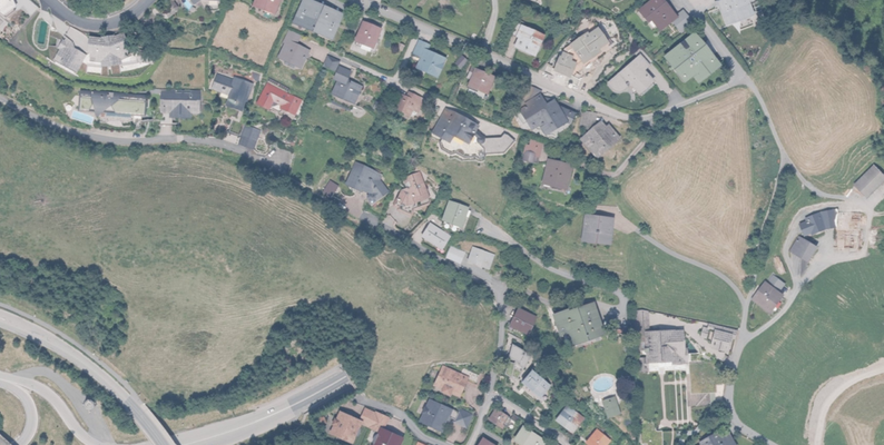
This dataset is a high-resolution satellite image dataset containing pairs of high-resolution (HR) and low-resolution (LR) satellite images, designed for the 4x super-resolution task.
The images are distributed in 2 directories:
- HR_0.5m: Contains GeoTIFF files with a spatial resolution of 0.5 meters per pixel
- LR_2m: Contains the corresponding low-resolution GeoTIFF file with a resolution of 2 meters per pixel
All images are geographically aligned and cover the same area, ensuring pixel-to-pixel correspondence between LR and HR pairs.

Build AI with AI
From idea to launch — accelerate your AI development with free AI co-coding, out-of-the-box environment and best price of GPUs.