Command Palette
Search for a command to run...
AllClear Public Cloud Removal Dataset
Date
Size
Publish URL
Paper URL
Clouds in satellite images pose a significant challenge for downstream applications. A major problem facing current cloud removal research is the lack of comprehensive benchmarks and sufficiently large and diverse training datasets. To address this problem, a research team from Cornell University and Columbia University launched AllClear in 2024, the largest public cloud removal dataset, containing 23,742 globally distributed regions of interest (ROIs), covering a variety of land use patterns, and a total of 4 million images. The related paper results are "AllClear: A Comprehensive Dataset and Benchmark for Cloud Removal in Satellite Imagery", which has been accepted by NeurIPS. Each ROI includes a full time series capture for the full year 2022, including:
- multispectral optical images from Sentinel-2 and Landsat 8/9;
- Synthetic Aperture Radar (SAR) images from Sentinel-1;
- Ancillary remote sensing products such as cloud masks and land cover maps.
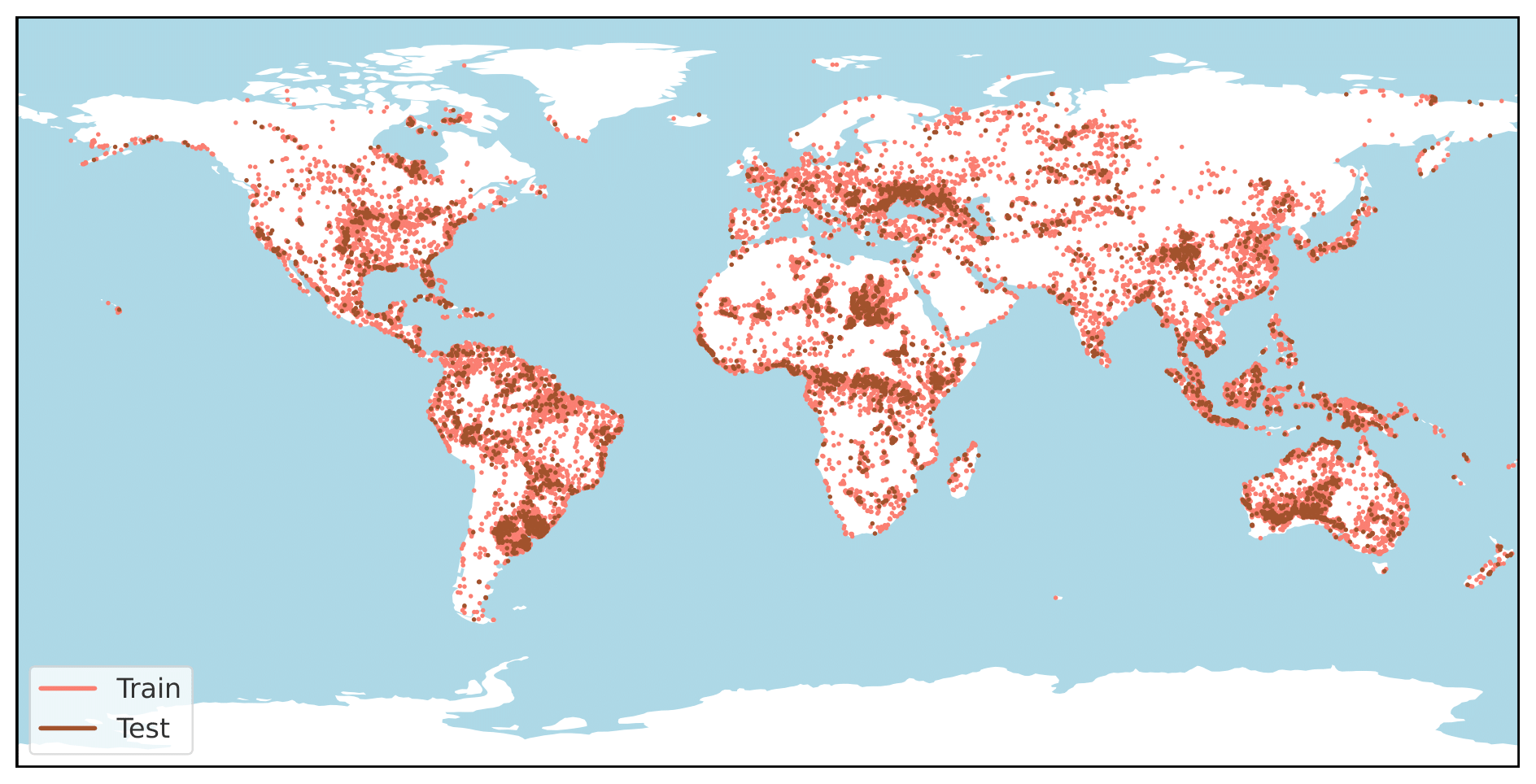
Data distribution diagram
Build AI with AI
From idea to launch — accelerate your AI development with free AI co-coding, out-of-the-box environment and best price of GPUs.