Command Palette
Search for a command to run...
OpenEarthMap Global High-Resolution Land Cover Mapping Benchmark Dataset
Date
Size
Publish URL
Paper URL
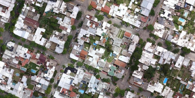
OpenEarthMap consists of 2.2 million segments from 5,000 aerial and satellite images, covering 97 regions in 44 countries across 6 continents, with manually annotated land cover labels for 8 categories, with a ground sampling distance of 0.25-0.5 meters. Semantic segmentation models trained on OpenEarthMap generalize globally and can be used as off-the-shelf models in a variety of applications. OpenEarthMap promotes research including but not limited to semantic segmentation and domain adaptation. Related papers and resultsOpenEarthMap: A Benchmark Dataset for Global High-Resolution Land Cover Mapping" has been included in WACV 2023.
Classes and Annotations
The dataset provides annotations for eight categories: bare land, pasture, developed space, roads, trees, water, agricultural land, and buildings. All annotations were done manually, taking an average of 2.5 hours per image.
Citation
@dataset{xia_2022_7223446, author = {Xia and Yokoya and Adriano and Broni-Bediako}, title = {OpenEarthMap: A Benchmark Dataset for Global High- Resolution Land Cover Mapping }, month = oct, year = 2022, publisher = {Zenodo}, doi = {10.5281/zenodo.7223446}, url = {https://doi.org/10.5281/zenodo.7223446}, }
Build AI with AI
From idea to launch — accelerate your AI development with free AI co-coding, out-of-the-box environment and best price of GPUs.